
Middletown Block Sources
A block lookup works best when each record is assigned a narrow task. City GIS supplies parcel geometry and layers. Vision supplies a card for one property. RecordHub supplies recorded title documents. Historical directories supply older address clues. The voter route answers a person-specific status question, not a block-browse question. These differences matter because “neighbor” can mean an adjacent parcel, an owner of record, a past occupant, or a public planning area.
| Source | What It Shows About a Block | Access |
|---|---|---|
| City GIS parcel layer | Parcel outlines, addresses, PIDs, map-lots, owner and mailing attributes, roads, districts and other configured layers | Public map and service; informational |
| Vision property card | One selected parcel's owner of record, situs and mailing fields, building information, value and sale-history leads | Public property lookup; not a household list |
| Town Clerk and RecordHub | Recorded transfers, deed parties, instruments, book/page references and legal descriptions | Online January 1, 1969 to present; older books and library access |
| Building Division | Project Address, Map, Lot, Parcel ID, Zone, Lot Area, permit and inspection clues | Online application, written request or counter route |
| MyVote and Registrars | A one-person registration status or polling-place answer, subject to public-field and protection rules | Public lookup; full file is $300 and purpose restricted |
| Reverse directories and census | Historical address occupants, businesses, household structure and enumeration geography | Russell, city scans, Wesleyan and federal archive routes |
| Planning and civic sources | Named planning districts and the neighborhood organization identified in city planning material | Public plans; no comprehensive member roster located |
The right result is often a parcel table with evidence labels, not a people list. State whether a row is a parcel fact, a record-owner fact, a title fact, a building fact, a historical-occupant lead or a community fact. That small habit keeps Middletown block research accurate and readable.
Map a Middletown Block by Parcel
The Middletown GIS application searches Address, Owner, Account Number, PID and Map-Lot. The official parcel feature service also exposes fields such as Parcel_ID, StreetAddr, OWNER1, OWN_ADDR1, map, lot and geometry. Search the starting address, open Parcels and Parcel Labels, and turn on only the layers that answer the question. Roads, zoning, voting districts, flood areas, utility districts, wetlands and other map layers can describe the block without claiming who is inside a building.
- Record the searched address, the selected PID or map-lot, the date, the base map and the layers turned on.
- Use the parcel labels and attribute table to identify nearby rows. The table supports page sizes of 25, 50, 100 or 1,000 and can export selected or current records to CSV.
- For each selected parcel, save the street address, owner field, mailing city and ZIP, situs ZIP, zone, map-lot and public district. Do not copy a mailing address into a resident field.
- Open the parcel in Vision, then use RecordHub or the Building Division when title or work history matters.
- Call a parcel directly adjacent only after the map selection or distance result confirms the relationship. Visual closeness alone is not a legal boundary.
Middletown’s GIS download page shows the city’s public-export route.
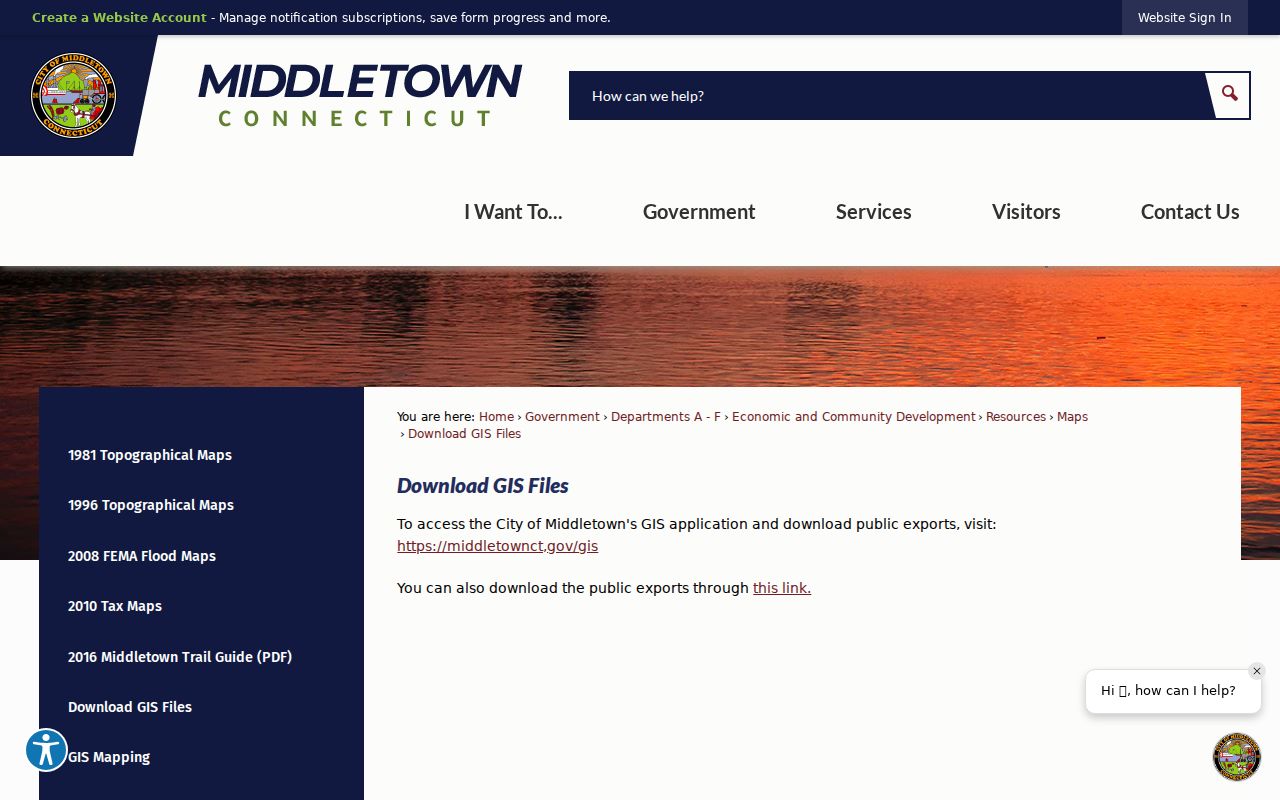
The download view is useful for documenting where a public export comes from. It does not turn an exported parcel row into a complete list of nearby people.
Middletown Abutters and Mailing Lists
The GIS Abutters tool is the most direct Middletown block utility for a parcel-based question. Select a parcel, set a distance, and create a mailing list for abutting parcels. The result can be exported as CSV or PDF. Record the distance and the table settings with the export, because a buffer list and a parcel that shares a boundary are not always the same thing.
The city Maps page says GIS data is informational and identifies older public map exports as accurate through 1996. That caveat matters when a historic map is used to explain a current block. Use the current parcel application for present geometry, use the Town Clerk for legal proof, and use the Assessor for current card questions. A map export can support research, but it should not be presented as a certified survey.
The mailing list is about parcels and mailing destinations. It is not a list of every person physically present at an adjacent property. An owner can use a different mailing address, a parcel can be held by an entity, and several people can share or use one address. The useful output is therefore “selected abutting parcels and official owner or mailing fields,” not “everyone nearby.”
Middletown’s historical and current map collection gives context for the export and its date limits.
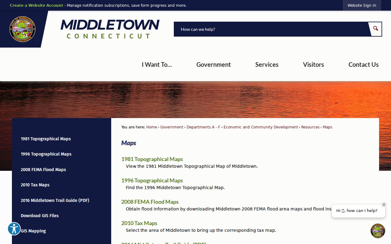
Read the map date and source label before comparing an old line or parcel shape with the current GIS layer.
Middletown Neighbor Cards, One Parcel at a Time
Vision is a property-card lookup, not a current household directory. Its public modes include Address, Owner, Acct#, Map-Lot, PID and All. A card can show the current owner of record, owner mailing address, parcel identity, values, building characteristics, land or use code, zoning, year-built information and sale-history fields. Open one card for each selected parcel and keep the card's Location or situs field separate from the owner address.
GIS ownership is expressly not current in the city research. Vision is described as the most recent owner and building-information route, but it still needs the date and custodian label attached to the result. RecordHub can add a recorded deed party and legal description from January 1, 1969 to present. That deed party is title evidence. It does not prove that the named person lives at the property today.
- Parcel fact
- Geometry, PID, map-lot, situs, zoning, flood or district layer.
- Record-owner fact
- The owner and mailing fields shown by Vision or the public GIS layer.
- Title fact
- A recorded deed party and legal description from the Town Clerk or RecordHub.
- Historical-occupant lead
- A reverse directory, census, newspaper or obituary entry tied to an older address and year.
Use the labels in a citable block worksheet. A neighbor row can be useful even when the occupant question remains unanswered.
Middletown Voter Records by Address
Connecticut MyVote is a one-person status and polling-place route. The Middletown Registrars of Voters maintain the local list at 245 deKoven Drive, Room B15, and the public page lists 860-638-4950. The public lookup is not a street or block browse. It should not be used to fill in every nearby household from a single address search.
Connecticut public registry rules can expose name, former name, residence or former address, voting district and party, subject to statute and protection rules. Public Act 26-1 section 96 makes the month and day of birth exempt from public disclosure, leaving the year as the public birth detail. Voter ID, DMV ID, SSN, signatures and other internal identifiers are not public resident-search fields.
A statewide voter-file request is a different channel. The state form describes a $300 CSV file and requires a permitted election-related, scholarly, journalistic, political or governmental purpose. Personal or private use, commercial use, harassment, advertising, solicitation, sale, marketing and reproduction are listed restrictions. An ACP participant or another protected voter may be omitted or represented through a substitute address. A block question needs a lawful, authorized route, not a promise that MyVote will display the block.
Middletown’s Neighborhood Organization Findings
Middletown’s planning sources are unusually clear about what they do and do not provide. The Middletown 2030 material identifies North End Action Team, or NEAT, as the city’s one neighborhood organization. It does not provide a public member-address roster. Planning districts supply a map vocabulary, not a directory of members. The table keeps that negative result visible so a neighborhood name is not mistaken for a private association list.
| Organization or geography | What the public source says | What it does not provide |
|---|---|---|
| North End Action Team | Middletown 2030 names NEAT as the one neighborhood organization identified in city planning material. | No public membership roster or member-address directory was located. |
| Downtown planning districts | Government Center, North End Commercial Spine, Ferry and Green Mixed Use, Grand and Liberty Residential, South End Commercial, Downtown Retail Core and Harbor. | These are planning categories, not membership rolls. |
| Downtown neighborhoods | Ferry and Green mixed-use and Northwest Residential geography are described on the city page. | The page does not establish who lives in either geography. |
| North End plan | Describes a gateway shaped by Main Street, River Road or riverfront, rail and commercial corridors. | It is a planning document, not a resident roster. |
| HOA or condominium directory | No comprehensive directory was located in the cited official sources. | Do not infer an association from a subdivision name or use a private member list. |
For a civic contact, use a public plan, agenda or organization channel. Do not manufacture a directory when the official research found only one named organization and no public roster.
Middletown Planning Districts Around a Block
Planning geography helps explain why two nearby parcels can have different civic or redevelopment context. The official downtown district labels include the North End Commercial Spine, Ferry and Green Mixed Use, Grand and Liberty Residential, South End Commercial, Downtown Retail Core, Harbor and Government Center. The North End plan adds a gateway context around Main, River and rail corridors. These labels should sit beside the parcel, ZIP, census and postal layers, not replace them.
The Downtown Neighborhoods page is a useful source for the city's own geography.
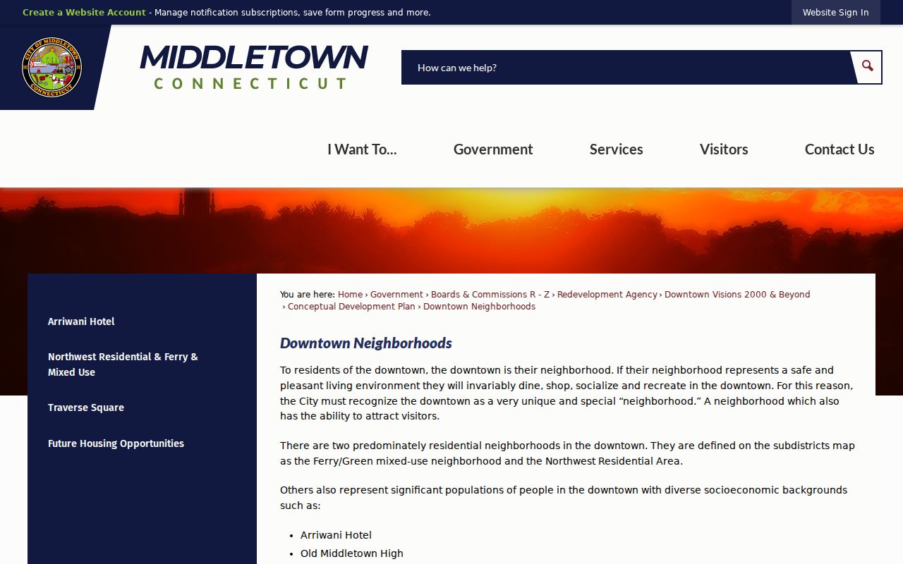
The image shows planning context rather than a list of household members. Use the district name as a location note, then return to the parcel layer for the address record.
Middletown’s river, downtown, campus and mixed rural areas create different map questions. A parcel can be in one planning district, use another postal label and sit in a different census geography. Calling all of those layers “the neighborhood” can hide the source of a claim.
Historical Middletown Neighbors by Address
When current parcel records are not enough, Russell Library, the city scans and Wesleyan directories can show past occupants or businesses around a street number. Read the reverse section first, then use the alphabetic entry for occupation, household notes, affiliations and alternate addresses. Compare the next available year and a census year. The city directory run has gaps, and a missing volume does not show that the block was empty.
Sanborn sheets from 1884, 1889, 1895, 1901, 1907, 1913 and 1924 can add building footprints, use and lot context. Newspapers can add moves, deaths, church events and business notices. A historical neighbor is an address-and-year lead, not a current resident claim. Use the legal description, map-lot or PID when an old number does not match the current street label.
The broader named-street record chain belongs on Middletown’s by-street page. The block method stays narrower: start at one parcel, select the adjacent rows, and add historical material only when it answers a specific date or address question.
Middletown Address Authority and Neighbor Records
Engineering controls the current house-number and street-name question. The city’s Engineering Division lists house numbers, street names and mapping among its responsibilities, with a public phone number of 860-638-4862 at 245 deKoven Drive. The city road system includes state, private, paved and unpaved roads. A map label from an informal source should not override the official addressing authority.
The Building Division form uses Project Address, Map, Lot, Parcel ID, Zone and Lot Area. The Superior Court party search also exposes a By Property Address tab, although the full address-search fields and coverage were not rendered in the research capture. These routes can produce a property or proceeding clue. They do not show every person connected to an address.
Middletown Engineering’s public page documents the office behind address questions.
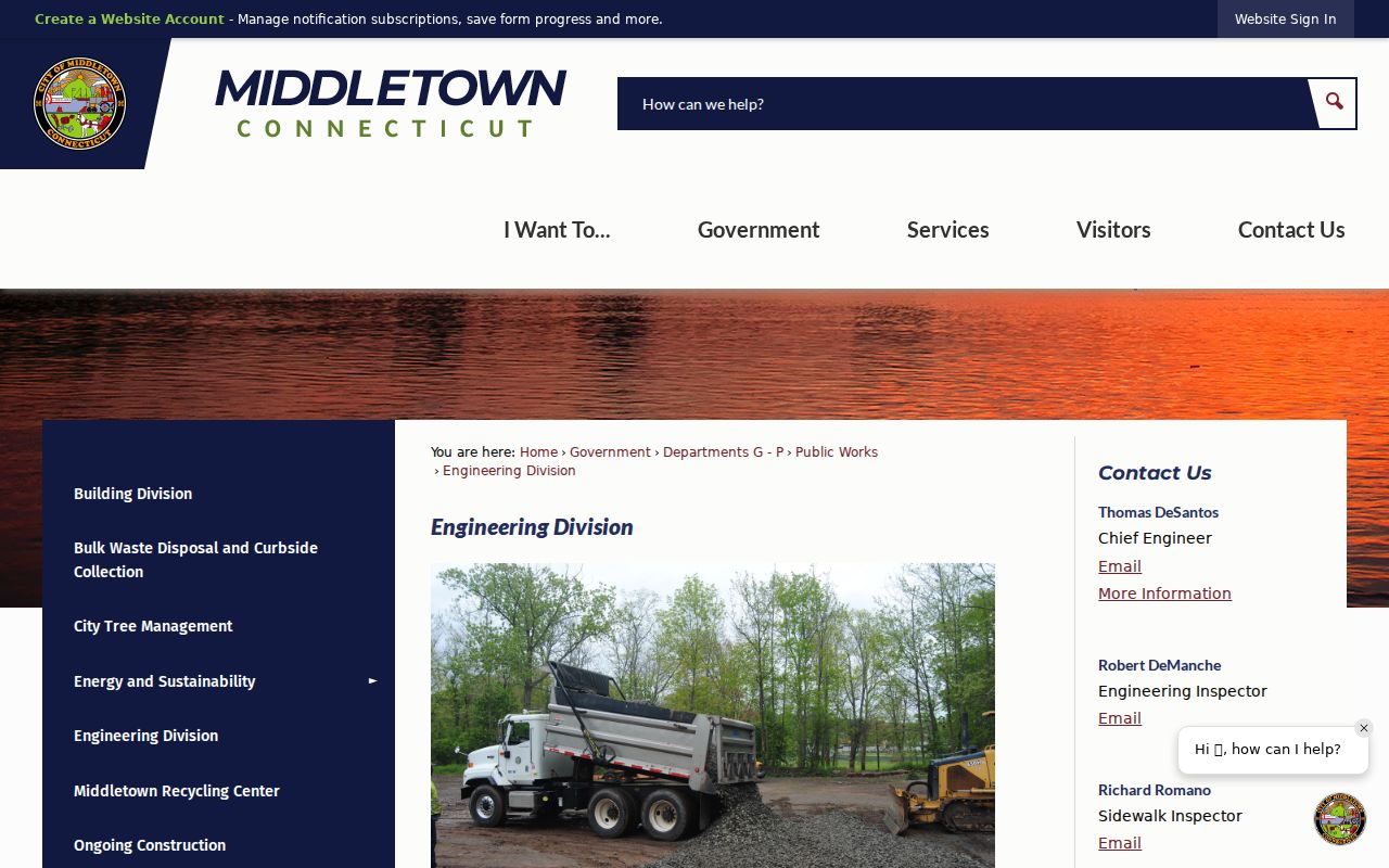
Use the office record for a current number or street-name question, then preserve the map-lot, PID and legal description that connect the result to a parcel.
Official Records or Commercial Neighbor Tools
Commercial neighbor tools may bundle address and phone data into a quick result, but the category can be paid, stale, difficult to correct and unclear about its source. Official records are slower because each custodian answers a different question. The comparison below keeps the choice practical without naming or linking private compilers.
| Category | Useful for | Limit to keep in mind |
|---|---|---|
| City GIS and Vision | Parcel geometry, official owner fields, map-lot, PID and building context | Owner or mailing data is not an occupant list; GIS is informational. |
| Town Clerk and RecordHub | Recorded transfers, parties, legal descriptions and book/page leads | Online land coverage starts January 1, 1969; images may require payment or a custodian request. |
| MyVote and Registrars | One person's status or polling-place question | Not a public block browse; protected records and statutory limits apply. |
| Russell, city scans and maps | Past address occupants, businesses, structure and street continuity | Runs have gaps, and historical entries need a year and source label. |
| Commercial neighbor-search category | Fast compiled leads when a user checks the source and lawful purpose | May be outdated, costly or hard to verify; it is not a replacement for the custodian. |
A public source is not automatically complete, and a compiled result is not automatically current. Keep the source URL, date viewed and evidence type beside every neighbor record.
Privacy Limits for Middletown Neighbors
A parcel map does not reveal a complete household. Utility customers, mail recipients and DMV address holders are not a public block directory. Owner mailing is not occupant evidence. The Connecticut Address Confidentiality Program can suppress an eligible participant’s actual residence and use a substitute address. An absent name or address may therefore reflect protection, not a missing neighbor.
Keep the block human. Use Middletown neighbors research for civic orientation, family history, reconnecting and personal safety awareness. Do not publish private household details, use a voter file outside its permitted purpose, or turn an official mailing field into a profile. Never use a neighbor lookup to stalk, harass or harm anyone.
When a result matters, confirm it with the office that owns the record. The Assessor can address a property card, the Town Clerk can address a land record, Registrars can address a voter record, Engineering can address a number, and the library can explain a historical directory. Good neighbor research is careful about both evidence and people.